


No information available
Tour description
From the Komperdell top station (S201) head north on the broad trail to the signpost (S202). Ascending on the Quellenweg (Source Trail), through partly fen-like terrain, over pastures of the
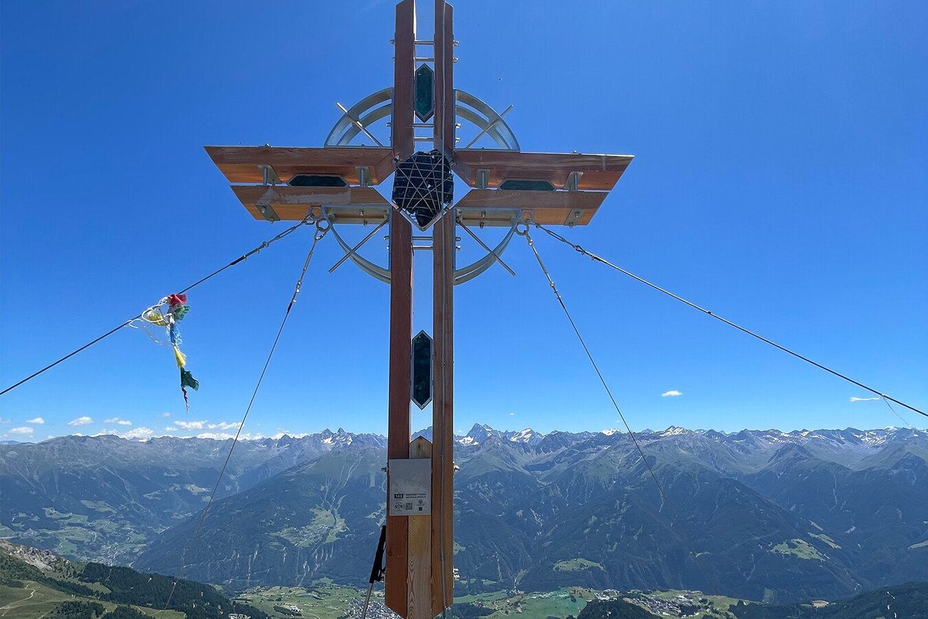
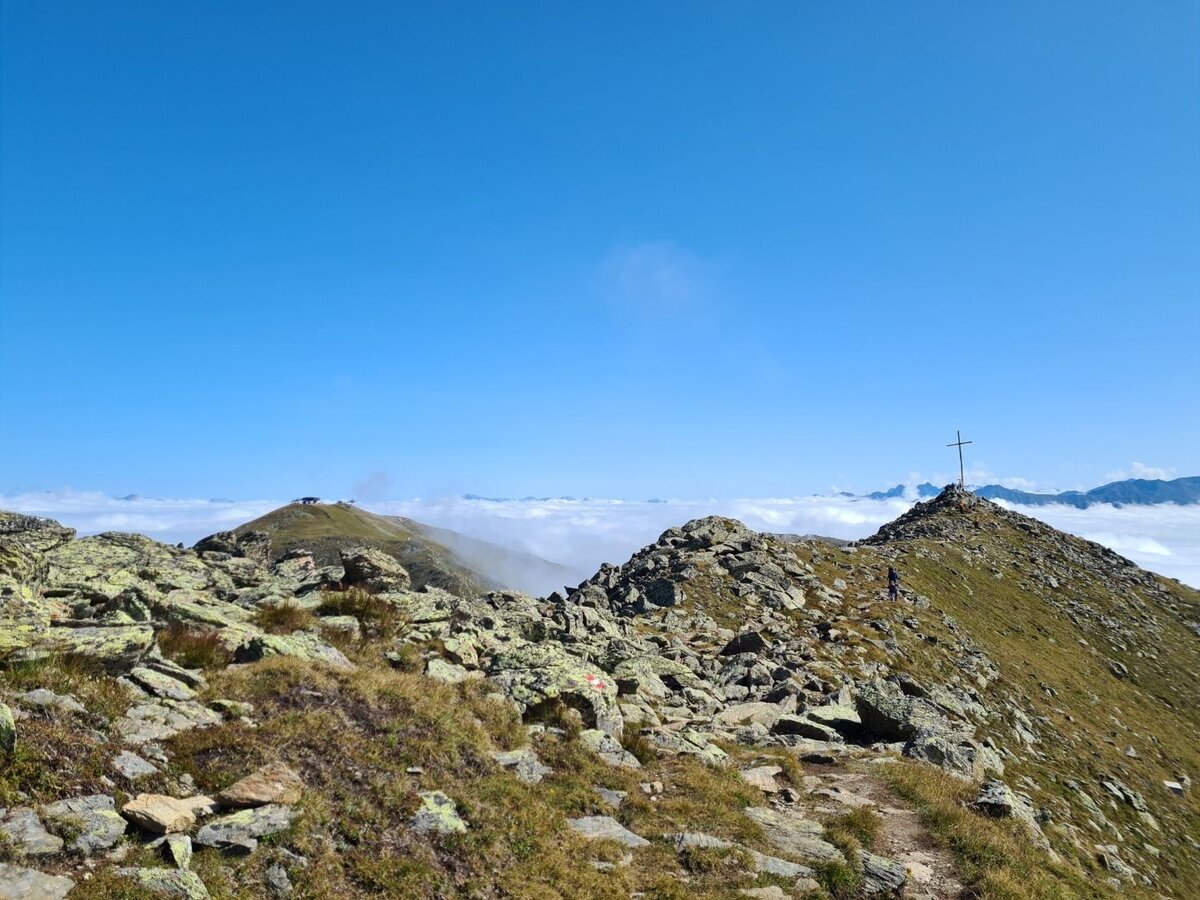
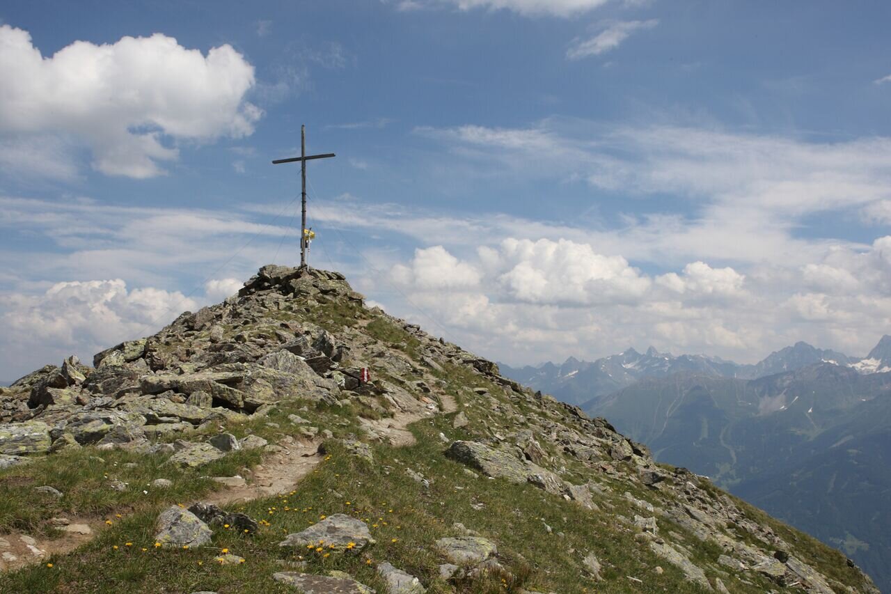
Komperdellalpe to the Mittlerer Sattelkopf (S250) and then on trail no. 11 ascend steeply to the summit cross on the Oberer Sattelkopf (F110). Variant: descent via Gratsteig 23 (ridge trail) to the Fisser Joch.
No information available
Tour information
Difficulty:
medium
Start: Komperdell top station
End: Oberer Sattelkopf
Start: Komperdell top station
End: Oberer Sattelkopf
4.38 km
Route length
3 h
Duration
671 m
Elevation
40 m
Elevation loss


